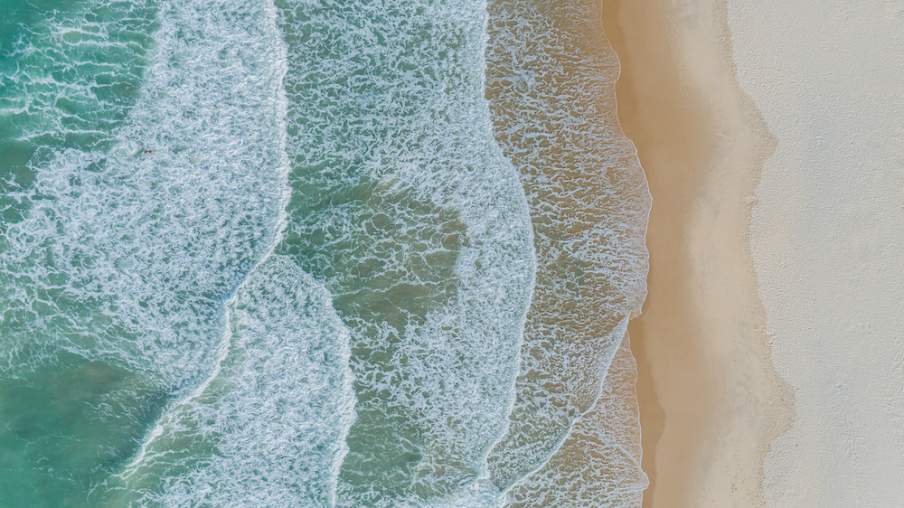
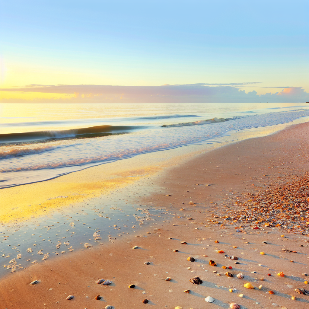
Sarasota is one of the most beautiful places in Florida, if not the world. What makes it beautiful, of course, is access to Gulf waters for boating, swimming, snorkeling, and exploring. Anyone experienced with water and boating or swimming is likely familiar with tidal action and tracking tides. For the rest of us, it can be a bit confusing. Let’s learn a bit about why tide charts are, why they are important, and how to read them when venturing out into the Sarasota tide.
What Are Tides?
Tides are the result of ocean water or lake water being impacted by the gravitational pull of our sun and moon. The earth rotates which causes gravitational effects. Tides are measured as the height of the water surface at a particular point on the shoreline. In essence, it is the level of water moving towards the shore. Many factors influence tide including water depth, weather conditions, and the coastline to name a few. It is important to look at a Sarasota tide chart to get a feel for what tides are doing on any given day and know what to expect.
What Impacts Tides?
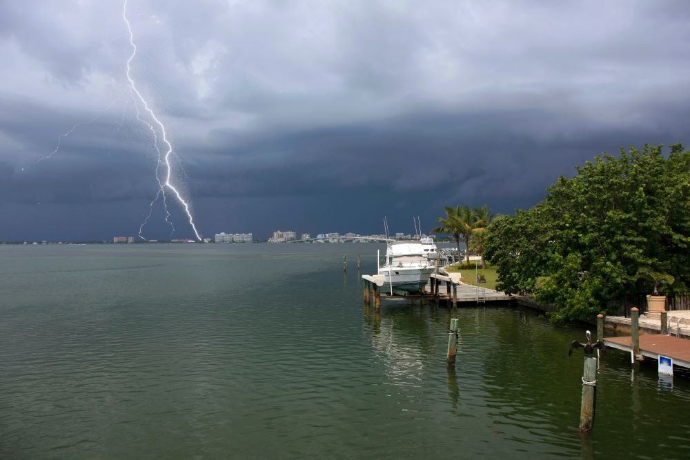
Tides are impacted by the weather but also vary from coast to coast. In Sarasota where weather is calm most of the year, it is still impacted by the gravitational pull of the Earth and changing of seasons. Storm season is one of the most impactful in Sarasota in terms of tides. Tides are higher when Earth is closer to the moon and when the moon and sun align, tides are strong. More than people realize, gravitational pull impacts tides everywhere, even Sarasota. Here in the northern hemisphere, tides are lower in winter and higher in summer.
Types of Tides
Three different types of tides exist. Learn a little about each as it relates to reading tide charts:
- Semi-diurnal: two high tides and two low tides each lunar day (most common)
- Diurnal: one high, one low tide per lunar day
- Mixed tides: two high tides, two low tides of differing heights each lunar day
It is important to know what type of tide is happening when heading out into the waters as it may impact activities and safety while boating, swimming, or enjoying the open water.
How Tides Are Charted
Tide charts exist because people read the data coming from fixed stations along the coast. Stations have names and are located by coordinates. A gauge is used to record water levels using ‘the mean sea level as a reference point. These gauging stations are maintained by the National Oceanic and Atmospheric Administration’s National Weather Service (NOAA). In Sarasota, there are several stations dotted along the coast. Tide gauges take measurements at 6-minute intervals with each measurement having over 100 water level samples taken at one-second intervals. This constant reading of the water helps develop tide charts. Read here for more information on their locations.
Sarasota’s Unique Tides
Florida’s west coast experiences a mix of diurnal and semidiurnal tidal patterns. When they occur together, there may be days with one or even five tides. Some are unequal in height which gives the higher and lower high tides or even higher and lowers low tides to mix things up a bit. To make boating safe, navigation charts show depths relative to the mean or averages of lower low tide. The average level of near-shore Gulf changes month to month. February is the lowest and late September to mid-October is the highest. Seasonal winds factor into things in and around Sarasota. Winds from the north and east drive water out of rivers and bays with west or south winds pushing water inland. This is important when planning excursions, beach days, and adventures out into the water. A great time to look for clams is in winter following a cold front when sand bars are filled with them.
The rarest and most extreme sea level is a hurricane storm surge. Although rare, it is important to understand how weather impacts water surges, and storms, in general, play a key role in whether people will be venturing out that day into the water.


Share This Page