Coastal Bicycling Trails - The Legacy & Venetian Waterway
Grab your bikes and cruise up The Legacy Trail and Venetian Waterway Trail along Florida’s beautiful SunCoast.
Bicycling Along The Legacy Trail & Venetian Waterway Trail
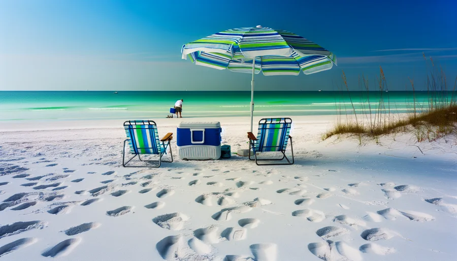
Bicycling alone, with friends or family is often one of the most popular activities in Sarasota. People love to get on two (or even three) wheels and get around in nature. One of the more popular spots, The Legacy Trail, is relaxing and easy going. The track is multi-use, ranging about 12 miles in length, and runs south of Sarasota to Venice. Find out why visitors love to bike this trail and how to enjoy the trip through nature.
Legacy Trail
Traveling down the Legacy Trail, there are about 15 rest areas, though some have outhouses. This makes it easier to attract cyclists to the trail. The surface is paved and around 12 feet wide. Pedestrians, skaters, and others often find themselves sharing the trail. The trip is generally flat without much traffic minus intersections with roads every few miles.
Views Along Legacy Trail
Situated a mile or two inland, the scenery is not the main event. There are not shoreline views as much as trees and other wooded areas. There are also open spots and natural environments to enjoy. The Venetian Waterway Park Trail connects to this spot and is a different trail but adds up to some great biking for those who crave more scenery.

Plan a Trip
Cycling the trail takes some planning. Many people start north to south and love to end up in Venice. Others start there and come north. When planning a ride, there are no places directly on the trail to stop for snacks or beverages. Plan ahead and pack these things in a backpack or carry on.
The trip is relatively short compared to other trails. There is one good restaurant a little ways before Venice. This may be a great stop for lunch before heading home. This shorter ride may be good for occasional cyclists and visitors who are not used to going long distances.
Siesta Key to Legacy Trail
Start at Stickney Point Road to get off the island. There are often intersections with the Tamiami Trail (Highway 41) which is busy and not very friendly. To start in Siesta Key means crossing the highway to get to Gulf Gate Drive, located 200 yards south of the intersection. Perhaps not ideal for cycling with little kids unless they are in a bike trailer. To bypass the intersection, go right from Stickney Point Road to a small side street (Ave. A) and headset. This lines up with Gulf Gate drive and makes it easier.
Riding
Once on the trail, turn right to head south towards Venice. On the way to Venice, there are benches and trees. Beginners and seasonal cyclists will enjoy the ride. The Legacy Trail is new, opened in 2008, it is becoming more popular but still isn’t overcrowded. It is used by competitive cyclists for training rides but also recreational cyclists.
Oscar Scherer State Park
Halfway to Venice, the trail detours to a small section of an old railway bridge. It isn’t operational but points to another time and place in the history of the area. There is access at this place to the park itself but costs a fee. They have hiking trails, camping, tours, and snorkeling in their lake.
To avoid cycling into Venice for food, stop short at Captain Eddie’s seafood restaurant. It is a popular spot to jaw with other cyclists. Check out the nice patio and tiki bar with thatched roof.
Venetian Waterway Trail
Venetian Waterway Trail on the east side of the Intracoastal Waterway is a continuation of the Legacy Trail. Keep pedaling to end up here or start here and pedal up north. This way is more narrow and made of concrete instead of Legacy Trail’s asphalt pavement. This section of trail offers some views of boats heading out or returning from the Gulf of Mexico. Check out Shamrock Park Nature Center with picnic tables, a playground, and recreational facilities.
The town of Venice has a little over 20,000 people and the downtown is a short distance west of the old train station. It is known as a ‘bicycle friendly community’ by the League of American Bicyclists. The other side of downtown Venice is part of the Intracoastal Waterway so it takes a bridge to get there. Look for signs on how to get across.
Venetian Waterway Trail west of Intracoastal Waterway
This part of the trail runs west of the Intracoastal Waterway. It is downtown Venice but the more interesting of the two trails. It is only possible to go further south four or five miles. It detours inland around residential homes but it is well marked and easy to follow with breathtaking views of the water. For those who want scenery, this is often the part of the trail they like best.
Scenery
Stop by this part of the waterway to look for fossilized teeth from giant sharks that landed on the sand and washed up. Many people come to bring rakes and buckets for their treasure. It can be a fun stop with kids. North is the road back to Venice from the beach itself. Look for a large pier down the road that jets into the Gulf of Mexico. At this pier’s base is Sharky’s restaurant and bar. It is located right on the beach and is perfect for a stop before or after a long bike ride, depending which place you started.
Parking For The Legacy Trail
To park for Legacy Trail, try these spots:
- Patriots Park (800 Venetia Bay Blvd., Venice)
- Nokomis Community Park (234 Nippino Trail East, Nokomis)
- Laurel Park (509 Collins Rd., Laurel)
- Oscar Scherer State Park (1843 S. Tamiami Trail, Osprey)
- Bay Street Park (300 Bay St., Osprey)
To park for Venetian Waterway Trail
- Park on west side at northwest trailhead off Nokomis Avenue
- East side, park at Marina Park and Boat Ramp
Legacy Trail Etiquette
The rules help everyone enjoy the trails. A list of rules are posted as you go. Trail users should be courteous, considerate, and in control of their persons and belongings. Stay to the right and let others pass. Stop and use crossing signals at road intersections. The trail is dog-friendly so be mindful of dog walkers. Cyclists under age 16 must wear a helmet. 911 Emergency Location Markers are on the center of every trail to help locate people in need.