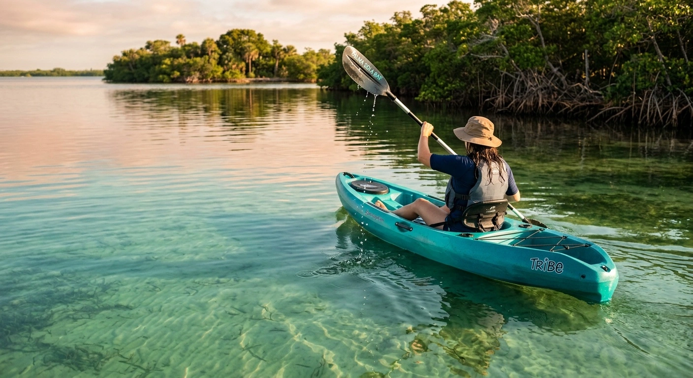
Palma Sola Bay kayaking routes range from short shoreline paddles to longer trips near Anna Maria Sound. Shallow water, mangrove edges, and seagrass flats make the bay well suited to recreational kayaking. However, wind, tides, and boat traffic can change conditions quickly.
The routes below begin near the public shoreline access along the Palma Sola Causeway. Distances are approximate because launch points and shoreline detours vary. Check access signs before unloading your kayak.
Palma Sola Bay kayaking routes by distance
Causeway shoreline paddle
Approximate distance: 1 to 3 miles round trip
This simple out-and-back route follows the protected shoreline near the Palma Sola Causeway. It works well for beginners, families, and paddlers testing unfamiliar equipment. Stay close to shore and turn around before wind or fatigue becomes a problem.
Launch only where public access signs allow it, and keep clear of swimmers and anglers. The sandy bottom makes entry manageable in many locations, although shells and submerged rocks can create uneven footing.
Eastern bay mangrove route
Approximate distance: 3 to 5 miles round trip
From the causeway area, paddle east along the bay’s quieter shoreline. This route passes shallow flats and sections of mangrove habitat where birds often feed. Keep enough distance from the vegetation to avoid damaging roots or disturbing roosting wildlife.
Water can become very shallow near low tide. Watch for exposed mud, oyster shells, and seagrass rather than forcing the kayak through. If the paddle starts striking bottom, move toward a deeper natural channel.
Western bay and Anna Maria Sound approach
Approximate distance: 4 to 7 miles round trip
This longer route heads toward the western opening of Palma Sola Bay. Paddlers may see dolphins, rays, mullet, and seasonal manatees along the way. Remain on the bay side if traffic or wind increases near Anna Maria Sound.
The open water near the bay entrance requires more experience than the protected shoreline. Boat wakes, crosswinds, and tidal flow can complicate the return trip. Recreational paddlers should avoid crossing marked navigation channels unless conditions allow a quick, direct crossing.
Shoreline loop for experienced paddlers
Approximate distance: 6 to 9 miles
A broad loop around the bay combines mangrove edges, shallow flats, and exposed stretches of open water. Use a GPS track or detailed marine chart because the shoreline contains small coves and similar-looking points. Plan at least one safe place to shorten the trip.
Start into the expected wind when possible, then use the wind on the return leg. This strategy reduces the chance of finishing a long route against building afternoon conditions.
How to choose the right route
Select a route according to wind, distance, and paddling experience. Beginners should remain near the causeway or follow a protected shoreline. Experienced paddlers can explore farther west when visibility and water conditions remain stable.
Distance alone does not determine difficulty. A two-mile trip into a strong headwind may require more effort than a longer paddle on calm water.
- Beginners: Choose a one- to three-mile shoreline trip with an easy turnaround.
- Intermediate paddlers: Follow the eastern shoreline or complete a partial bay loop.
- Experienced paddlers: Consider the western bay entrance or a longer loop after checking marine conditions.
Best tides and weather for kayaking
Light winds usually matter more than tide height inside Palma Sola Bay. Morning often brings calmer conditions, but paddlers should rely on the current marine forecast rather than a general pattern. Wind blowing across the bay can create short, closely spaced waves.
Check tide predictions for a nearby station before launching. Low water may expose mud and make some shoreline sections difficult to navigate. An incoming tide can provide more clearance over shallow flats, but it may also increase flow near narrow passages.
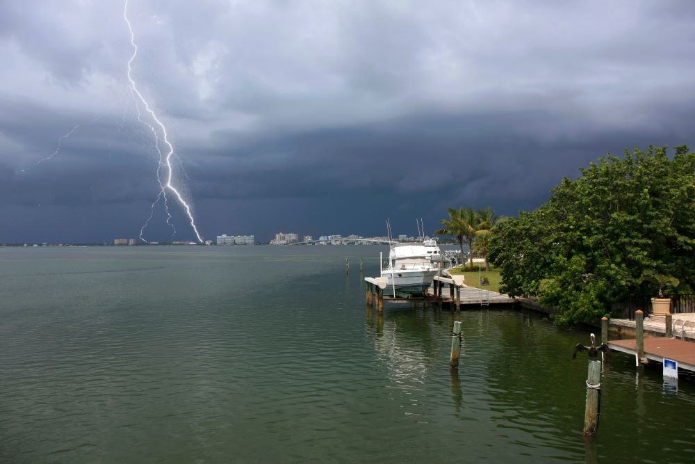
Thunderstorms present a serious risk on open water. Leave the bay at the first sign of lightning, dark clouds, or a sudden wind shift. Florida storms can develop faster than a paddler can cross exposed water.
Navigation and safety
Most Palma Sola Bay kayaking routes do not follow signs or fixed trail markers. Carry a waterproof map, phone, or GPS device, and save the launch location before leaving shore. A backup compass adds useful protection if a device fails.
Wear a properly fitted personal flotation device and carry a whistle. Bring drinking water, sun protection, and a waterproof light, even for a daytime trip. Florida boating rules may require additional lighting after sunset or during poor visibility.
Tell someone where you plan to paddle and when you expect to return. Kayaking with a partner also helps during equipment trouble, injury, or a difficult landing.
Boat traffic
Powerboats may use deeper channels through and around the bay. Cross channels at a right angle after checking both directions. Bright clothing and a visibility flag can help boat operators see a low kayak.
Turn the bow toward large wakes rather than allowing them to strike the kayak from the side. Give fishing boats, docks, and anchored vessels enough room for safe maneuvering.
Wildlife and seagrass
Manatees, dolphins, rays, and coastal birds use the bay throughout the year. Slow down near wildlife and avoid chasing animals for photographs. Give manatees room to surface and leave resting birds undisturbed.
Seagrass supports fish and other marine life while helping stabilize the bay bottom. Float over grass in adequate water, and never drag a loaded kayak across it. Use sandy areas for landings whenever possible.
What to bring
- A Coast Guard-approved personal flotation device
- A whistle or other sound-producing device
- Water and sun protection
- A waterproof phone case or GPS unit
- A paddle leash and spare paddle for longer trips
- A hand pump or sponge for sit-inside kayaks
- A dry bag with keys, identification, and basic first-aid supplies
- A white light if the trip could continue after sunset
Pack equipment inside the kayak or secure it to the deck. Loose bottles, shoes, and fishing gear can drift away after a capsize. Test unfamiliar equipment in shallow water before starting a longer route.
Planning a responsible Palma Sola Bay paddle
Good planning makes Palma Sola Bay kayaking routes safer and easier to enjoy. Confirm the forecast, tide, launch access, and return distance before entering the water. Adjust the route if wind or visibility differs from the forecast.
Stay within your group’s slowest paddler’s ability. Turn back early when conditions deteriorate, and leave shallow habitat as you found it. A conservative plan provides more time to watch wildlife and explore the shoreline without rushing.




Share This Page